
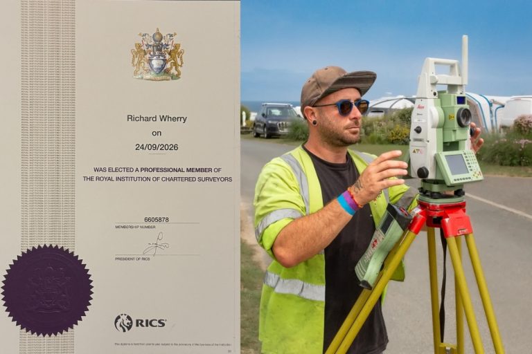
Congratulations to Rich on Becoming a Chartered Surveyor!
We’re so pleased to share that we have another Chartered Surveyor in our team.A big congratulations to Rich, who has
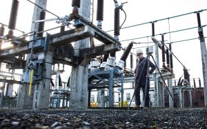
The National Grid recently required a highly detailed 3D topographical survey of their Bulk Supply Point (BSP) substation facility in the East End of Plymouth. This survey was essential for assessing the feasibility of new cable service installations, extending beyond the substation itself to include the surrounding streets.
Given the complexity and density of detail within the site, a traditional survey approach would have been time-intensive and costly. To streamline the process while maintaining accuracy, we opted for a 3D laser scanning method. This approach not only reduced on-site time but also minimised disruption, lowering costs and reducing the need for prolonged site supervision, a key advantage welcomed by the client.
 The Benefits of 3D Laser Scanning
Using advanced 3D laser scanning technology, we were able to capture millions of precise data points across the site, generating a comprehensive point cloud. This method provided several benefits:
High Accuracy: The laser scanner captured intricate site details with millimetre precision, ensuring a reliable dataset for future design work.
Efficiency: Reduced time spent on-site meant minimal disruption to the substation’s operations and reduced costs.
Enhanced Data Utilisation: The 3D point cloud was registered, colourised, and processed within a specialised survey software package, allowing us to extract precise 3D line work.
Comprehensive Deliverables: The final output was a highly detailed 3D DWG file, providing an accurate and comprehensive digital representation of the site for National Grid’s engineers and planners.
Supporting Future Infrastructure Developments
The survey data now serves as a crucial foundation for National Grid’s feasibility study, enabling precise planning for the installation of new cable services. By leveraging cutting-edge survey techniques, we have helped streamline their decision-making process, ensuring the project progresses with confidence and accuracy.
Our expertise in 3D laser scanning continues to play a vital role in supporting infrastructure projects across the Southwest, delivering the accuracy and efficiency our clients need to meet their evolving demands.
We’re so pleased to share that we have another Chartered Surveyor in our team.A big congratulations to Rich, who has
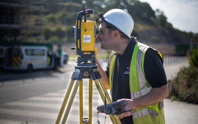
Ian has been part of the Kemp team for nearly 20 years, joining us in March 2007 after studying Construction

We’ve just added two new vehicles to our ever-growing fleet, supplied by Hawkins Motors. With our team constantly on the


