At Seeka Utility Surveys, we provide accurate PAS128 utility surveys to help you build safely, efficiently, and without unexpected underground clashes. Whether you’re planning new housing, commercial developments, highways, rail, or major infrastructure, our survey teams deliver clear, reliable data on buried services before construction begins.
Using advanced detection technologies and robust survey methodology, we give you the confidence to design and dig with certainty, preventing costly strikes, delays, or redesigns later in the project
Teams across the UK rely on us because we:
Understanding what’s hidden below ground is essential to avoiding risk. A professional PAS128 survey ensures:
Even a single utility strike can cause major project disruption; PAS128 surveys protect your programme and your people.
Seeka Utility Surveys brings together a highly experienced team with decades of combined industry knowledge.
Over the years, we’ve supported a wide range of projects, including housing and commercial developments, highways, rail and transport infrastructure, renewable energy and utilities installations, schools, hospitals, universities and other public-sector schemes, as well as major civil engineering works and complex brownfield redevelopments. If it’s buried beneath the ground, chances are, we’ve mapped it.


During the initial consultation, we take time to understand the site, project scope, required deliverables, and the PAS128 survey level needed for the work.
At this stage, we gather relevant statutory utility records from a number of service providers, review existing information, and identify any likely hazards or constraints before arriving on site. Different levels of Desktop Study can be undertaken to suit each projects needs.
Our on-site detection process involves EML tracing to locate conductive services, GPR scanning to identify non-conductive and unknown features, and detailed visual inspections of chambers, covers, and any surface evidence that may indicate the presence of buried utilities.
Where QL-A verification is requested, we work with your contractors or one of our external excavation partners to undertake trial holes or vacuum excavation to confirm the exact position, alignment, and depth of the utilities identified.
Once data is collected, we process and map the findings to produce detailed CAD or BIM drawings with clearly colour-coded utilities, alongside digital deliverables and 3D models where required.
Throughout the survey process, we provide ongoing support through fast communication, on-site clarification visits, and seamless integration with any wider topographical or engineering survey requirements.
All work is subject to rigorous quality assurance, supported by experienced surveyor oversight, senior-level review, and a clear documentation trail for complete confidence in the final output.
Our survey teams operate across the UK, regularly attending sites in Cornwall, Devon, Somerset, Dorset, and Bristol and South Gloucestershire, as well as supporting projects across the wider South West and beyond.
Whether you need a quick intervention or long-term utility mapping support, we can deploy to the site rapidly to provide the services you require.
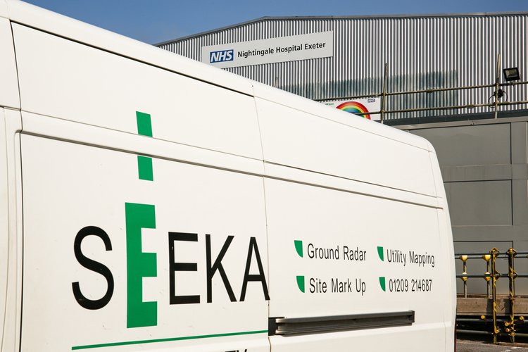
Seeka Utility Surveys stands out thanks to our:
A structured, nationally recognised methodology for detecting, locating, and mapping underground utilities. It sets clear quality levels and survey requirements, providing reliable information to support safe design, excavation, and construction activities.
PAS128 compliance ensures you receive a consistent, auditable, and technically robust survey, not assumptions or guesswork. It reduces the risk of utility strikes, costly delays, and design changes by providing confidence in the accuracy and traceability of the data.
We use a combination of proven and advanced technologies depending on site conditions and project requirements. These include EML (CAT & Genny), GPR, GPS, total stations, 3D GPR, and visual inspection of accessible utilities to maximise detection confidence and positional accuracy.
Yes. Survey data can be delivered in CAD, GIS, BIM, and 3D model formats to suit your design and coordination workflows. Outputs are tailored to integrate seamlessly with your existing project systems.
Absolutely. Our teams regularly operate on highways, rail, utilities, and complex brownfield sites. We are experienced in managing high-risk environments, strict safety protocols, and live services while maintaining survey quality and programme certainty.
Kemp Engineering & Surveying and Seeka Utility Surveys are trusted specialists in precision surveying, engineering, and utility mapping. With decades of expertise, we deliver accurate data and tailored solutions to support infrastructure, construction, and development projects across the UK. Whether you need topographic surveys, PAS 128 utility mapping, or engineering consultancy, our team is here to provide industry-leading insight and results. Get in touch today to discuss your project needs.
office@kempengineering.co.uk
Redruth Office: 01209 214687
Exeter Office: 01392 716768


office@kempengineering.co.uk
Redruth 01209 214687
Exeter 01392 716768
Website by

