
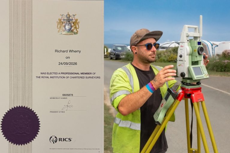
Congratulations to Rich on Becoming a Chartered Surveyor!
We’re so pleased to share that we have another Chartered Surveyor in our team.A big congratulations to Rich, who has
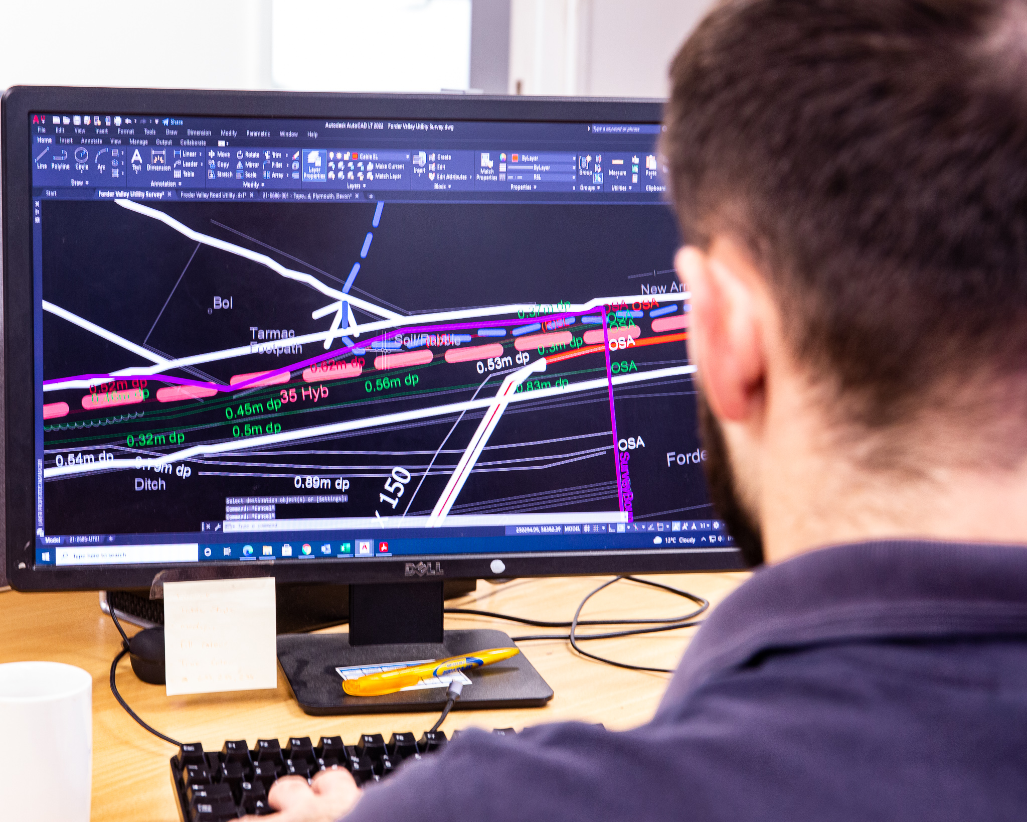
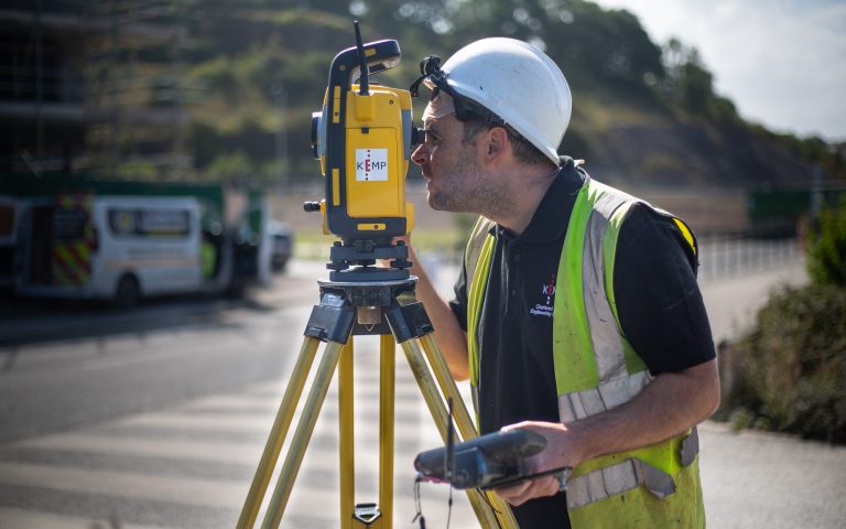
When most people think of surveying, they picture tripods on verges, laser scanners in buildings, or surveyors recording measurements in all weathers. But what happens after a survey? There’s a lot that occurs behind the scenes once the fieldwork is complete. Every survey we complete goes through a detailed, quality-driven workflow to ensure our clients receive accurate, reliable, and ready-to-use data.
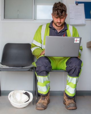 1. Processing the Raw Data
Once the team returns from site, the first step is to download and organise all the captured data. Depending on the type of survey, this might include GNSS observations, total station measurements, laser scan point clouds, or drone imagery.
Our technicians carefully process this raw information using specialist software, aligning datasets, removing noise, and checking that everything corresponds correctly to the required coordinate system. Closures and redundancy in observations are checked. Getting this part right means the final survey will be reliable and easy to work with.
With the data tidy and verified, the next phase is creating the drawing, model, or point cloud that the client will ultimately use. Topographical surveys are mapped into detailed 2D and 3D drawings showing levels, features, and site constraints. Utility surveys are combined with GPR, EML, and record information to build a clear picture of what lies below the surface. Laser scans and drone photography are transformed into registered point clouds or 3D models that allow designers to measure and visualise.
Before any survey leaves our office, it undergoes rigorous internal checks. These include cross-referencing measurements, inspecting layers and symbology, and ensuring the final output meets the project brief.
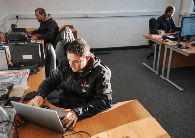
This QA process is one of the most important parts of our workflow, and it’s where our team’s experience really shines. If something doesn’t look right, we investigate it. If we spot a potential issue, we resolve it. Our clients rely on our accuracy, and the QA stage ensures we never compromise on quality.
Once everything has been double-checked, the final drawing or model is packaged and shared with the client. We also include any supporting files, metadata, or guidance needed to make the most of the information.
What looks like a simple PDF or DWG is the result of coordinated fieldwork, careful processing, and thorough review.
Our work doesn’t stop once the files are sent. We understand that surveys are often just one part of a larger project. That’s why we provide ongoing support, answering questions, clarifying details, and sometimes even tailoring data to fit specific software or workflows. Our goal is to make sure the information we deliver isn’t just accurate, it’s usable and practical for every stage of the project.
Surveying is much more than what meets the eye. Beyond the tripods and scanners, there’s a meticulous, multi-step process that transforms raw field measurements into reliable, actionable data. From processing and building outputs to rigorous quality assurance and client support, every step is driven by accuracy and care. When you work with us, you’re not just getting measurements, you’re gaining a trusted partner dedicated to delivering precise, practical, and dependable survey solutions.
We’re so pleased to share that we have another Chartered Surveyor in our team.A big congratulations to Rich, who has
Ian has been part of the Kemp team for nearly 20 years, joining us in March 2007 after studying Construction

We’ve just added two new vehicles to our ever-growing fleet, supplied by Hawkins Motors. With our team constantly on the


