
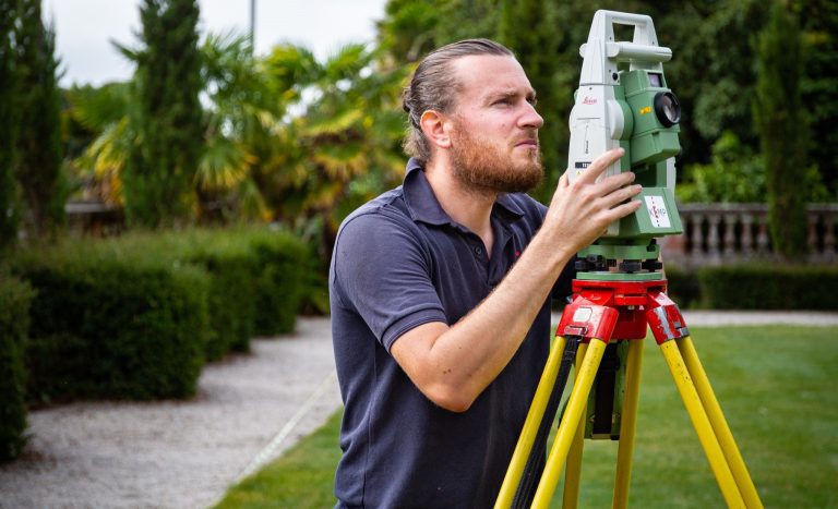
Meet The Team: Russell Dowden
At Kemp, our team is at the heart of what we do. In this month’s meet the team we’re introducing Russell, one of our skilled land surveyors who has been…
At Kemp, our team is at the heart of what we do. In this month’s meet the team we’re introducing Russell, one of our skilled land surveyors who has been…
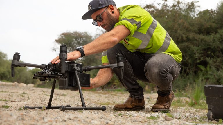
What Are Aerial Surveys? An aerial survey is a technique used to collect geospatial data from above, using drone, aircrafts or satellites. This provides accurate mapping over large areas and…

The National Grid recently required a highly detailed 3D topographical survey of their Bulk Supply Point (BSP) substation facility in the East End of Plymouth. This survey was essential for…
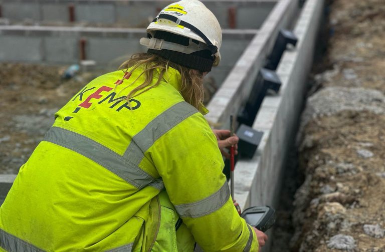
In this month’s project update, we’re pleased to share that our team is continuing work at The Duchy of Cornwall development Nansledan as we embark on the next phase of…
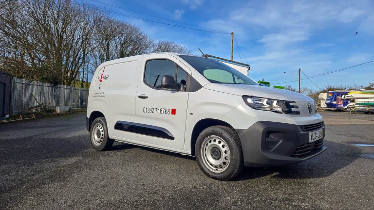
We’re pleased to share the latest additions to our Kemp fleet. As we continue to grow and take on new projects across the southwest it’s important to us at Kemp…

Back in 2014, at Kemp, we took on our very first UAV survey as part of our work at the Kingskerswell Bypass. The project was undertaken for the joint venture…
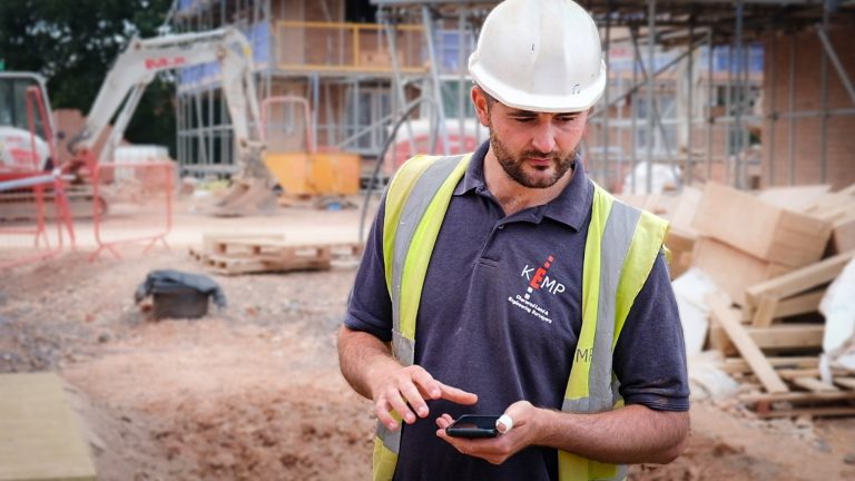
Meet Zack, our Technical Co-Ordinator. Whilst the majority of our Kemp team are based around the Southwest Zack can be found working anywhere across the UK travelling around in his…

At Kemp, we bring over 30 years of expertise to earthworks measurements and ground modelling. Our team has worked on some of the South West’s largest civil engineering schemes including…
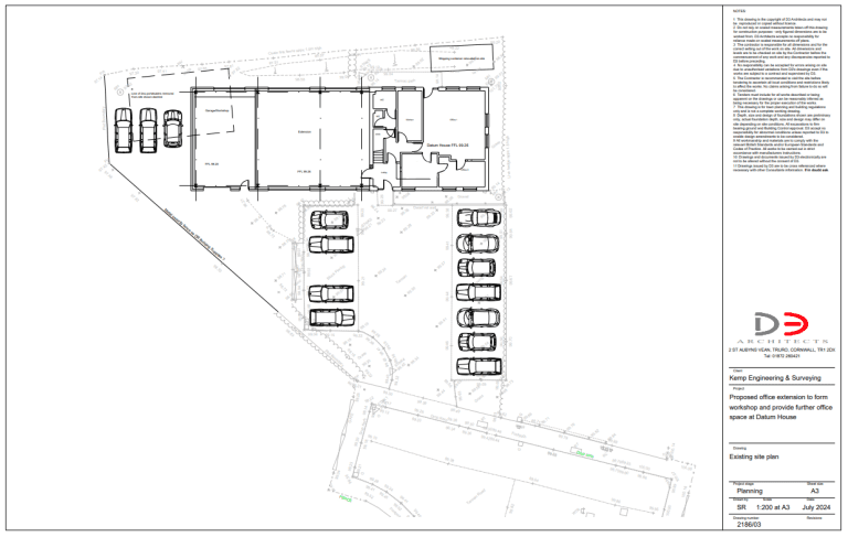
We’re thrilled to announce some exciting changes here at Kemp Chartered Land and Engineering Surveyors! As our team continues to grow and our technology evolves, we’re embarking on a major…
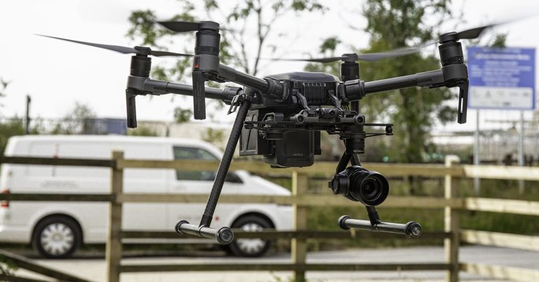
A land survey, also referred to as a topographical survey, and an aerial survey are two distinct methods of collecting data to achieve the same goal. The choice of method…
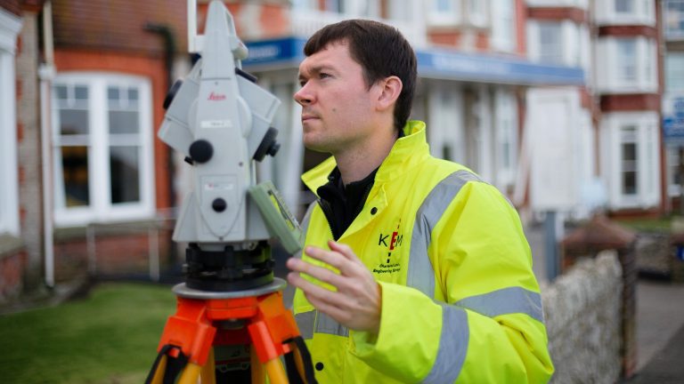
Ever wondered how someone becomes a land surveyor? For Mark, it started with a fascination for maps during a geological mapping project at university. Mark knew he wanted a career…
2024: A Year of Growth and Success for Kemp Chartered Land and Engineering Surveyors As 2024 ends, it’s a great time to reflect on what has been a fantastic year…


